An interpretive landscape experience at the transformed upstate site of a foundry that made cannons for the Civil War.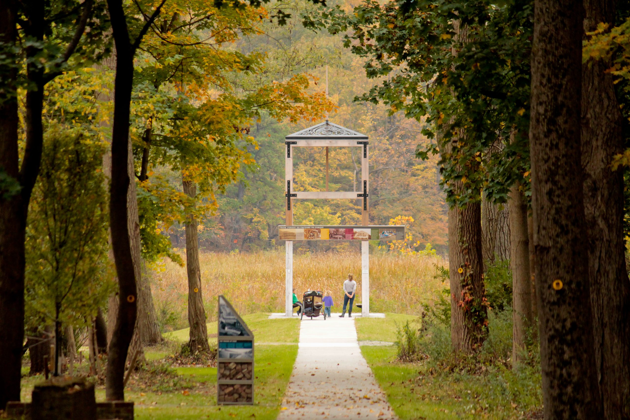
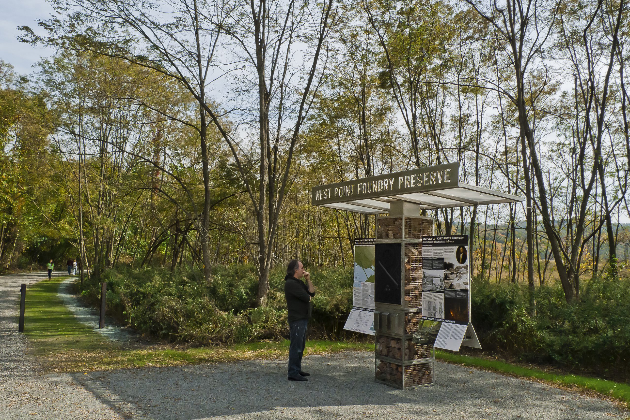
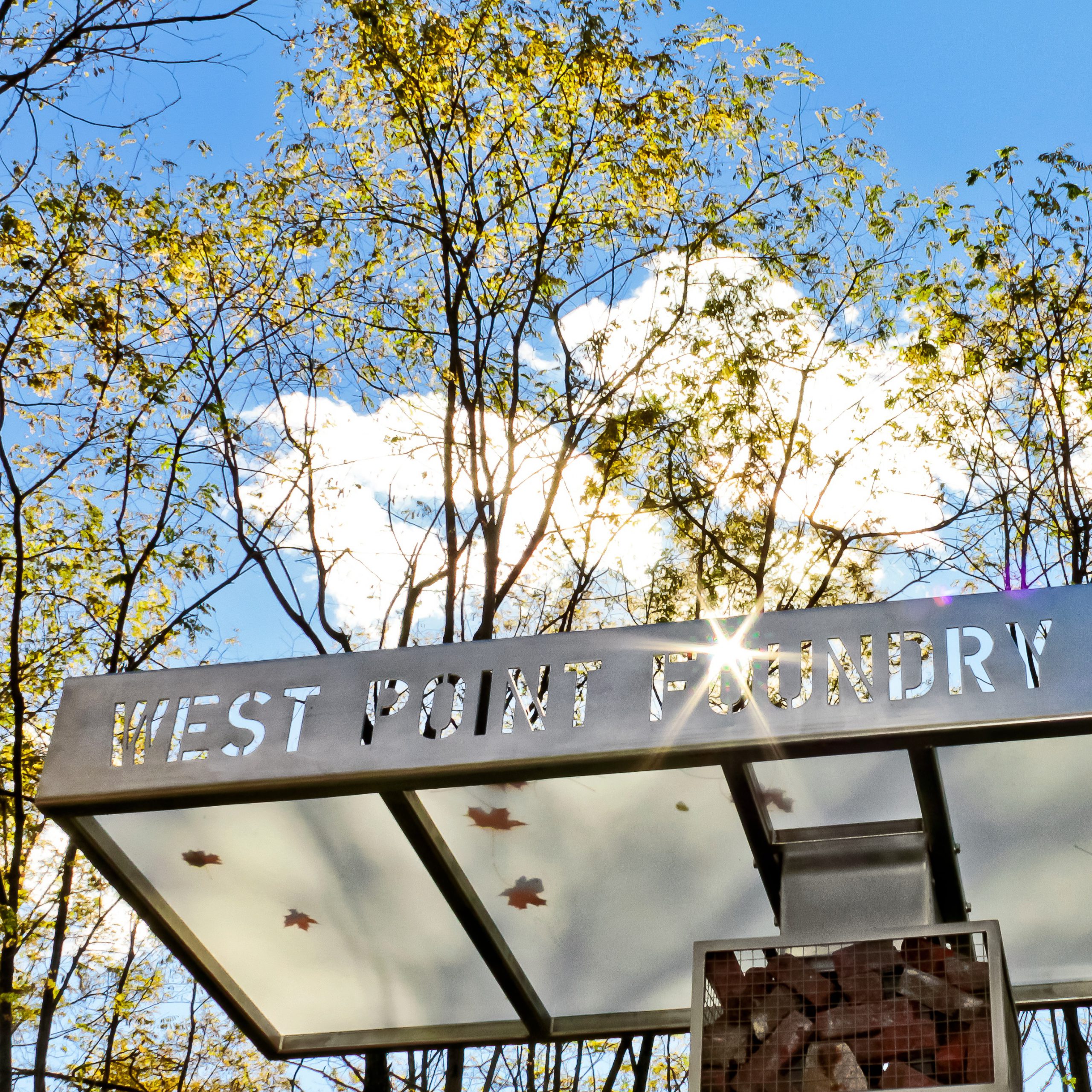

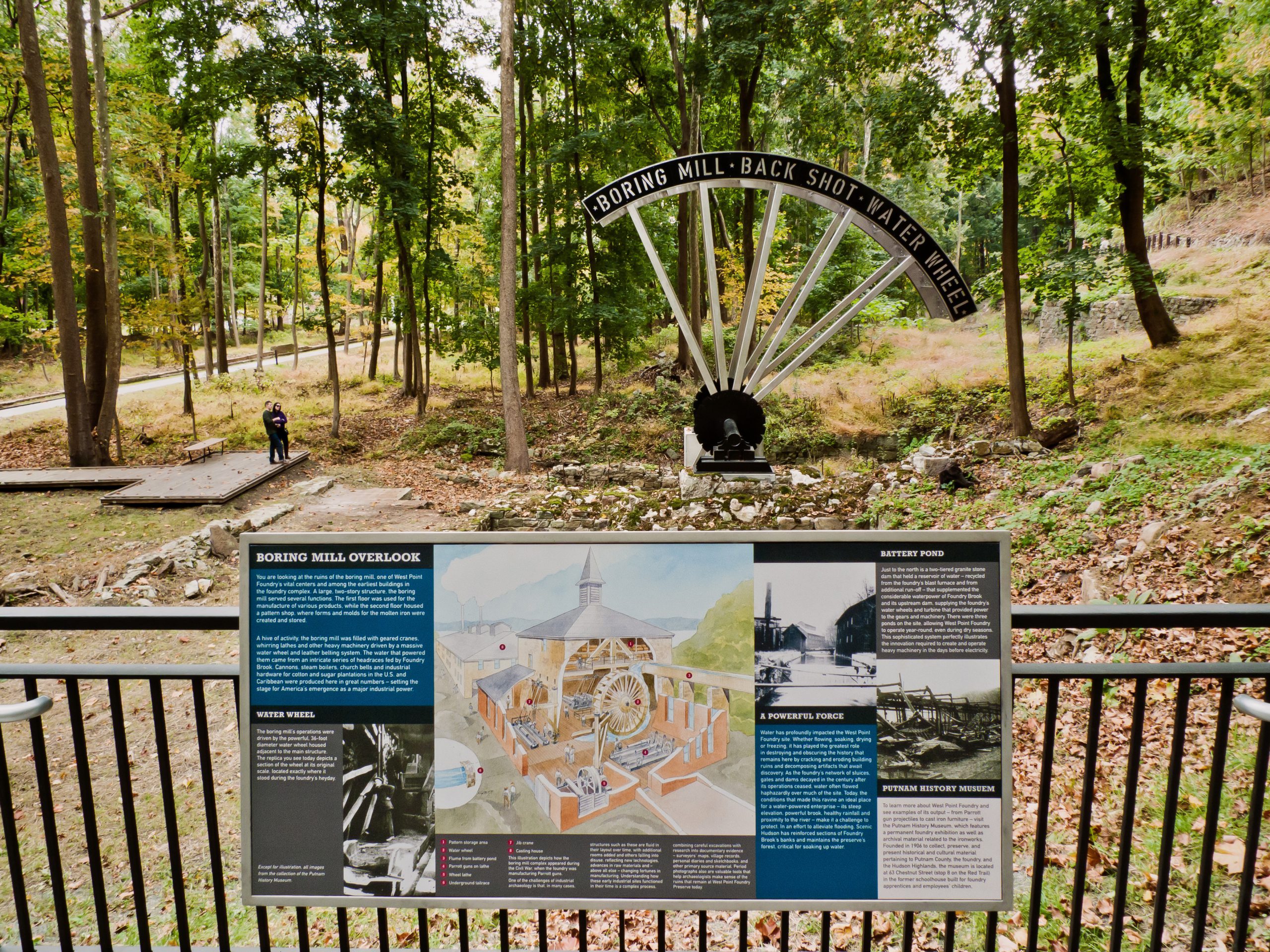
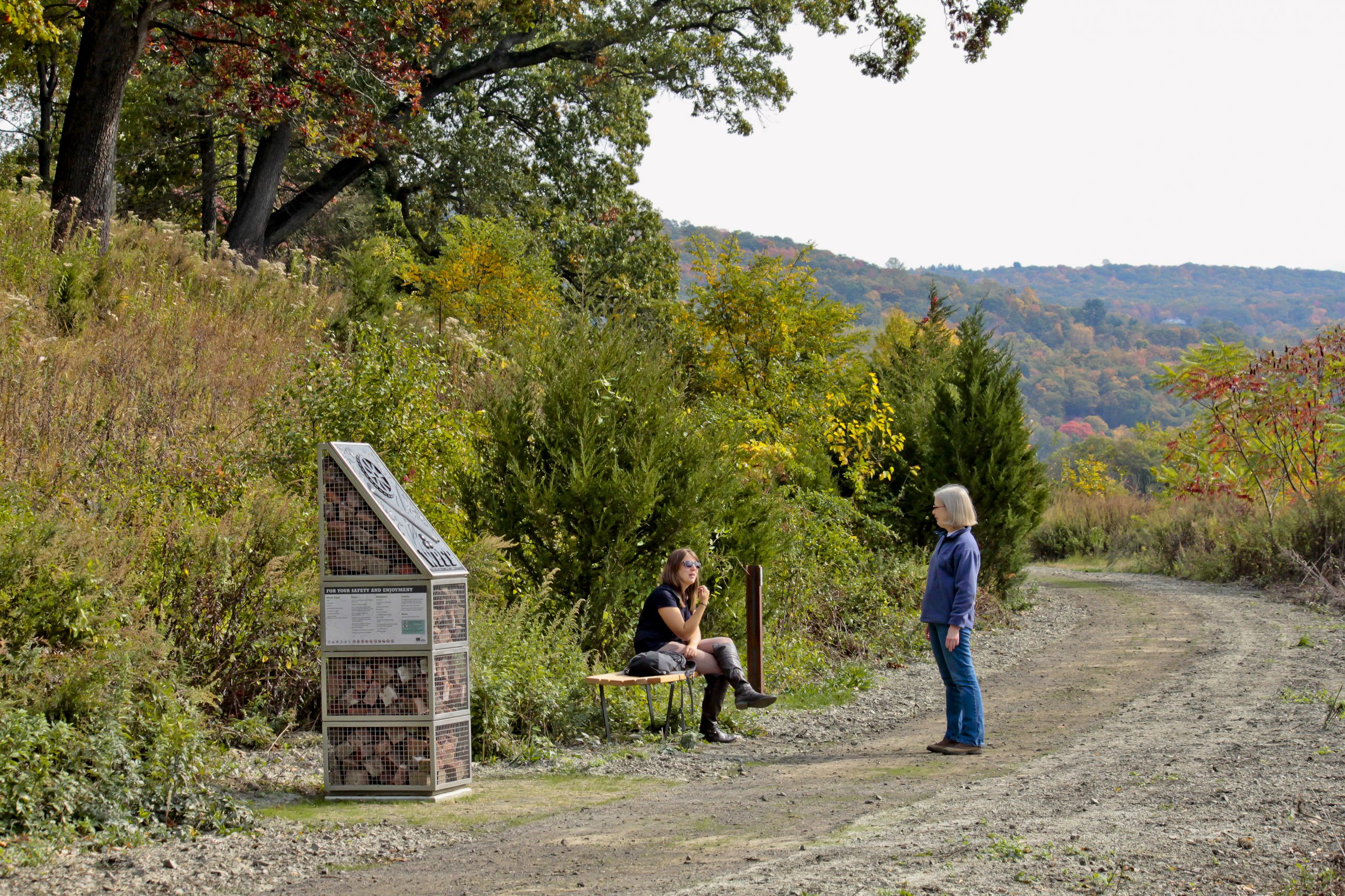
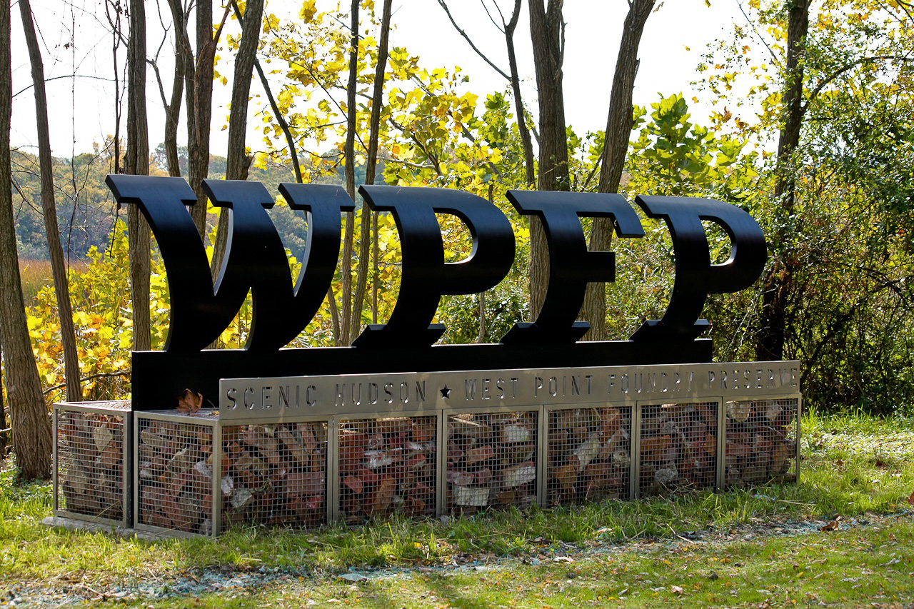
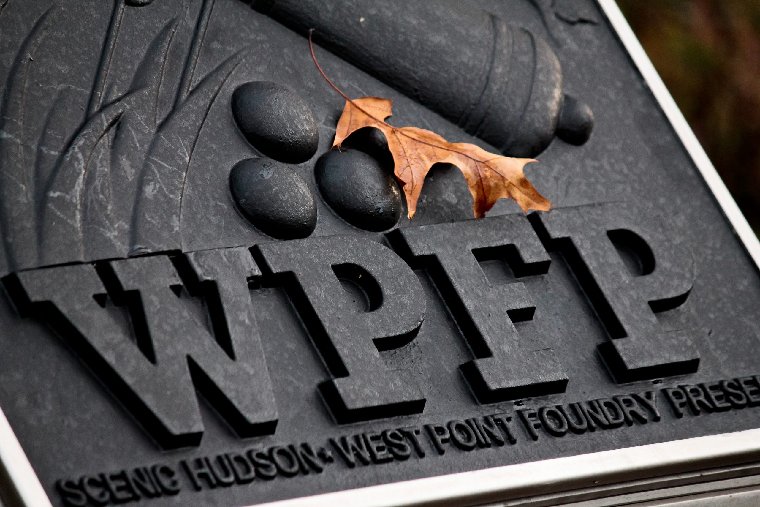
A detailed map at the Preserve’s trailhead kiosk guides visitors along the exhibit installations and along the major trails of the 87-acre Preserve. The map is adapted from an 1853 fire insurer’s map of the Foundry and Cold Spring Village. Throughout the preserve, content is illustrated with period photographs, stereoscopic images, and etchings from the Foundry’s own archives, now housed in the collection of the Putnam History Museum, located adjacent to the site. Landscape architects: MNLA.
![C&G Partners [logo]](https://www.cgpartnersllc.com/wp-content/uploads/2022/07/CGP_Logo-black.png)